The weekend weather forecast for South Africa starting on Friday, 7 July 2023, brings the anticipation of significant weather changes, and possible snowfall, as a strong cold front approaches the Western Cape and moves eastwards.
Weekend weather forecast: Snowfall expected in these parts of South Africa
This weather system is expected to bring various conditions, including showers, rain, strong winds, cold temperatures, damaging waves, and even the possibility of snowfall in certain regions, according to the South African Weather Service (SAWS).
The cold front, currently positioned southwest of South Africa, is projected to make landfall in the Western Cape on Friday evening. Showers and rain are expected to commence from Friday afternoon in the southwestern parts of the Western Cape, gradually extending to the Northern and Eastern Cape on Saturday.
By Sunday, 9 July 2023, these weather conditions are predicted to reach the eastern parts of KwaZulu-Natal and Mpumalanga.
As the cold front progresses, a significant drop in temperature is anticipated across the extreme western areas of the country on Friday, gradually spreading eastwards on Saturday.
Cold to very cold temperatures will encompass the eastern parts of the country by Sunday.
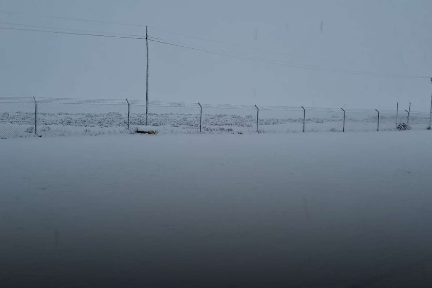
Alongside this temperature drop, there is the potential for snowfall in:
- high-lying areas over southern Namakwa;
- the interior of the Western Cape overnight on Friday; and
- the mountains in the Eastern Cape and southern Drakensberg by Monday, 10 July 2023.
Weather alerts and levels to take note of
Strong winds will accompany this weather system across the interior of South Africa throughout the weekend, with near-gale force winds expected along the coast.
Damaging waves are also anticipated along the southwest coast, starting on Friday evening and progressively spreading eastwards.
The weather authority has since issued the following alerts for this weekend:
- Yellow level 2: Wind over the interior: strong to near gale force (50 to 70 km/h gusting 80 km/h) north-westerly winds are expected over the interior of the Western Cape (eastern parts of the Cape Winelands and Central Karoo) and Southern Namakwa.
- Yellow level 2: Damaging waves: The wave heights are expected to increase to 5-7 m from Friday evening between Saldanha Bay and Cape Agulhas, then spreading along the west and south coast on Saturday, reaching Port Edward on Sunday.
- Orange Level 5: Damaging winds that could result in damage to settlements, properties and temporary infrastructure are expected over Sarah Baartman District Municipality and the western parts of the Chris Hani District Municipality on Friday and Saturday.
- Yellow Level 4: Damaging winds that could result in damage to settlements, properties and temporary infrastructure are expected over Joe Gqabi DM, the eastern parts of Chris Hani DM, Amahlathi LM and Raymond Mhlaba Local Municipalities on Friday and Saturday.
- Orange Level 6: Disruptive snow that could result in major mountain passes being closed, isolating communities and loss of livestock is expected over Chris Hani, Joe Gqabi District Municipalities, Matatiele, Umzimvubu, Raymond Mhlaba and Dr Beyers Naude (Graaf Reinet) Local Municipalities on Sunday and Monday.
Extremely high fire danger conditions are expected over the Sarah Baartman, Chris Hani and Joe Gqabi DMs as well as the Nelson Mandela Bay Metro on Friday.
The South African Weather Service will closely monitor the situation and provide updates as necessary to keep the public informed about the changing weather conditions.