Residents of the southern Drakensberg in the Eastern Cape should brace themselves for potential disruptions as snowfall is predicted in the area on Thursday, 29 June 2023
UPDATE: This article was updated on Thursday, 29 June 2023, with sightings of snowfall in parts of the Eastern Cape.
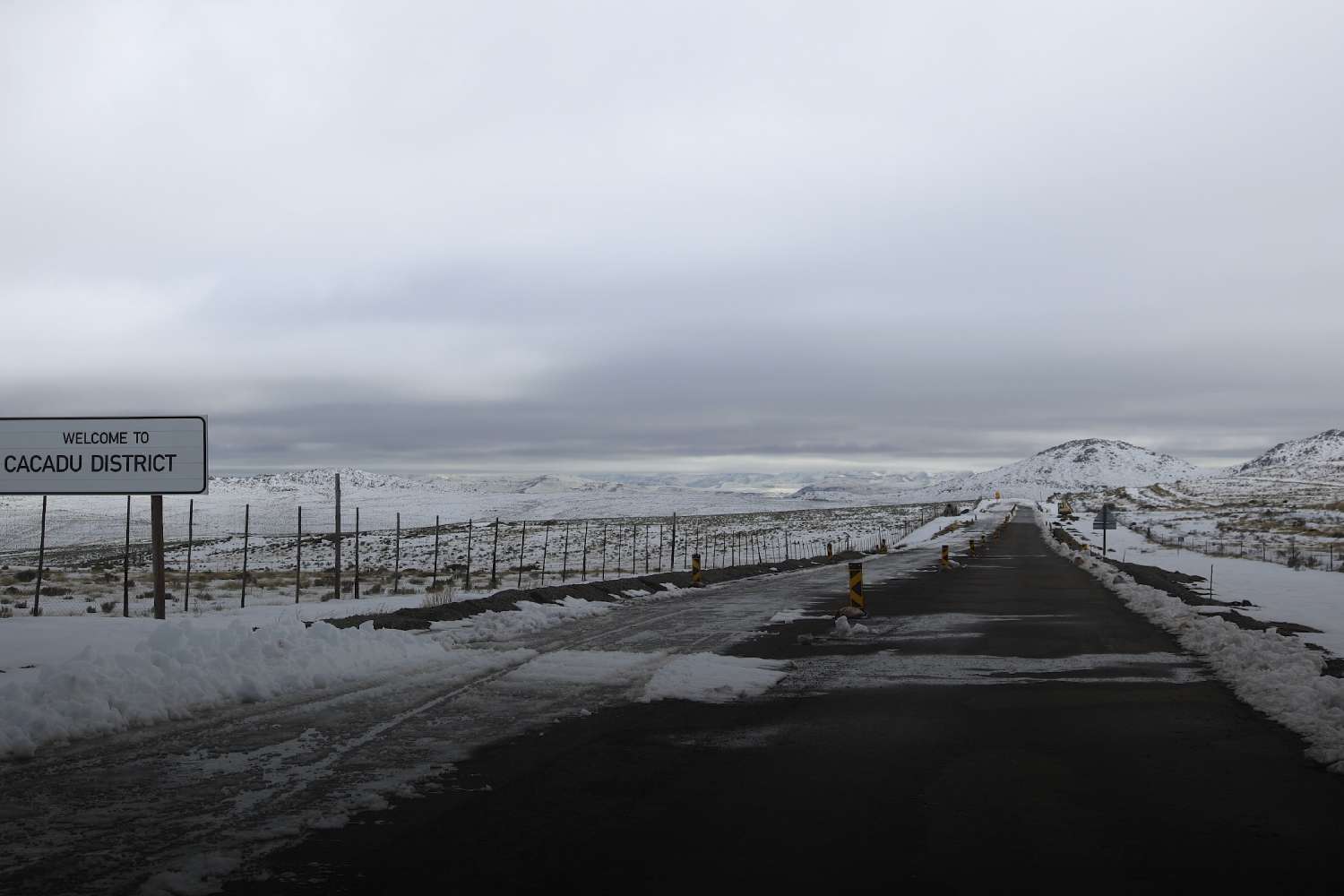
Snowfall in the Eastern Cape expected on Thursday, 29 June 2023
The inclement weather may lead to road closures and impact rail travel, particularly during the morning hours.
Regions likely to be affected include Molteno, Barkley East, Lady Grey, and Matatiele, with a possibility of isolated incidents of livestock loss in the northern parts.
Additionally, the South African Weather Service counterparts in Lesotho have issued warnings of bitterly cold temperatures and heavy snowfall, which may extend to QwaQwa in the north-eastern Free State.
These wintry conditions are expected to be caused by the movement of a cut-off low-pressure system currently situated along the country’s west coast.
Cold temperatures have already descended upon the western regions of the Free State and North West provinces.
South Africa weather warnings for the rest of the week
Livestock in certain areas of the western Northern and Western Cape provinces could also be at risk due to the extreme cold. Furthermore, localised thunderstorms may occur, potentially causing infrastructure damage and disruption to settlements, especially in regions experiencing heavy rainfall and excessive lightning.
Offshore, swells of up to 6.5 meters are anticipated along the south coast of the Eastern Cape, posing challenges to maritime activities, including potential damage to vessels and mooring lines.
Earlier this week, communities along the south coast of KwaZulu-Natal and the Wild Coast of the Eastern Cape were already affected by disruptive rain, and these wet conditions are expected to persist intermittently until Wednesday, 28 June 2023.
Subsequently, wet and chilly to very cold weather conditions are projected to spread across the central provinces, carrying a risk of storms with heavy downpours, intense lightning, and small hail.
Western parts of the Northern Cape may experience localised damage to infrastructure and settlements as a result. However, widespread improvement is anticipated by Thursday, with cooler and predominantly dry weather for the remainder of the week.
SEE: Pics and videos of snowfall in Eastern Cape
PLEASE NOTE: The third-party content below is shared on our platform for journalistic purposes. Swisher Post, its parent company, partners and affiliates shall not be held liable for any consequence that arises from the journalistic duties performed in sharing this content.