Eskom has placed its operations in the Western and Eastern Cape on alert ahead of the severe weather forecasted for the weekend.
Eskom warns system at risk ahead of torrential weekend
Following the recent announcement on Thursday regarding the temporary suspension of rotational power outages due to sustained good generation fleet performance, Eskom has now turned its attention towards the impending inclement weather over the weekend.
The suspension of loadshedding, set to last until 16:00 on Monday, 23 October 2023, may face challenges as severe weather conditions approach.
In a statement, Eskom acknowledged the risk posed by the forthcoming adverse weather conditions to its network in the Western and Eastern Cape provinces.
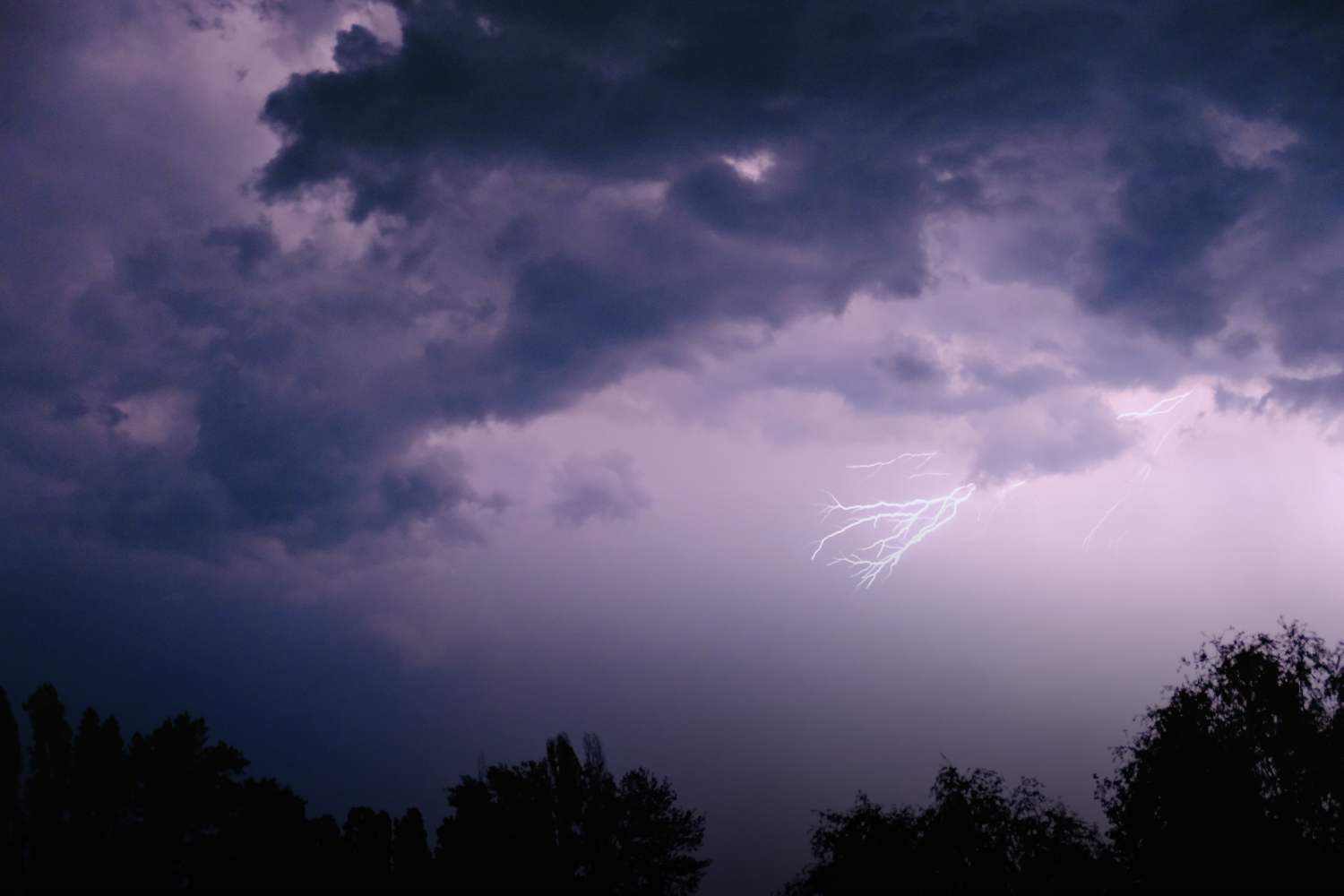
The predicted weather, characterised by significant rainfall and potentially severe thunderstorms, is expected to commence from Friday evening.
This severe weather scenario not only threatens to disrupt the electricity supply but could also result in prolonged electricity outage periods for some customers.
Weekend weather forecast: Torrential weather expected in Eastern, Western Cape
According to the South African Weather Services (SAWS), a cut-off low-pressure system is rapidly developing over the southern Atlantic Ocean, southwest of the Western Cape, and is anticipated to impact the western coast of the region starting on Friday.
This system is known for precipitating heavy rainfall, which could escalate to severe weather conditions like flooding and thunderstorms.
Residents in the districts of Cape Winelands, Overberg, Garden Route, and central Karoo in the Western Cape, as well as some southern areas of the Northern Cape, are advised to prepare for scattered showers and thundershowers starting tomorrow, with some storms possibly escalating to severe levels.
On the other hand, the Eastern Cape faces the risk of disruptive rainfall on Saturday, which, coupled with the already saturated ground from recent rains, significantly elevates the risk of flooding.
Numeric weather prediction (NWP) models have projected more than 100mm of rainfall within a 24-hour period for some areas, prompting the issuance of an Orange Level 6 warning for parts of the Eastern Cape.
The cut-off low is forecasted to intensify rapidly over the weekend and migrate eastwards. By Sunday, the focus shifts to the Eastern Cape and KwaZulu-Natal as the thunderstorms clear over the Western and Northern Cape, but the rainfall is expected to persist.