The weekend weather forecast indicates significant rainfall and possible severe thunderstorms are expected to affect the Western and Eastern Cape starting this evening.
Weekend weather forecast for Western Cape
According to numeric weather prediction (NWP) models, a cut-off low-pressure system is developing over the southern Atlantic Ocean, southwest of the Western Cape.
This system is evolving rapidly and is anticipated to begin affecting the western coast of the Western Cape as early as this evening.
The system is known for efficiently producing heavy rainfall and could potentially bring about severe weather conditions like flooding and thunderstorms.
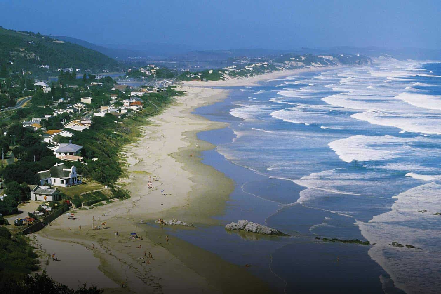
For the Western Cape, districts including Cape Winelands, Overberg, Garden Route, and central Karoo are expected to experience scattered showers and thundershowers starting tomorrow. Some of these storms may be severe.
The southern extremities of the Northern Cape could also be similarly affected.
Eastern Cape gets Orange Level 3 warnings for torrential rainfall
In the Eastern Cape, disruptive rainfall may occur on Saturday, posing a significant risk to life and property.
NWP models suggest more than 100mm of rainfall within a 24-hour period for some areas. Given this, an Orange Level 6 warning has been issued for parts of the Eastern Cape.
The risk is heightened due to the ground already being wet and saturated from recent rains, reducing its ability to absorb fresh rainfall and increasing the risk of flooding.
The cut-off low is expected to rapidly intensify over the weekend and move eastwards. By Sunday, most of the thunderstorms will have cleared over the Western and Northern Cape, shifting focus to the Eastern Cape and KwaZulu-Natal where additional rainfall is expected.