The South African Weather Service (SAWS) has issued warnings on the torrent conditions expected in Cape Town, as well as the greater Western Cape province, on Thursday.
Cape Town weather: Warnings for Thursday 8 July
The short reprieve felt by Capetonians from three days of dry weather will be short-lived. Forecasters have confirmed that a second cold front is set to hang over most parts of the province from Thursday, bringing along with it possible rainfall and temperatures ranging between 11 and 14°C.
SAWS has warned residents to take note of the following warnings:
- Possible localised damage to formal and informal settlements
- Trees may affect properties and road travel
- High-sided vehicles may be at risk of falling over as result of strong crosswinds, particularly on the N1, N2, N7, R321 and R43
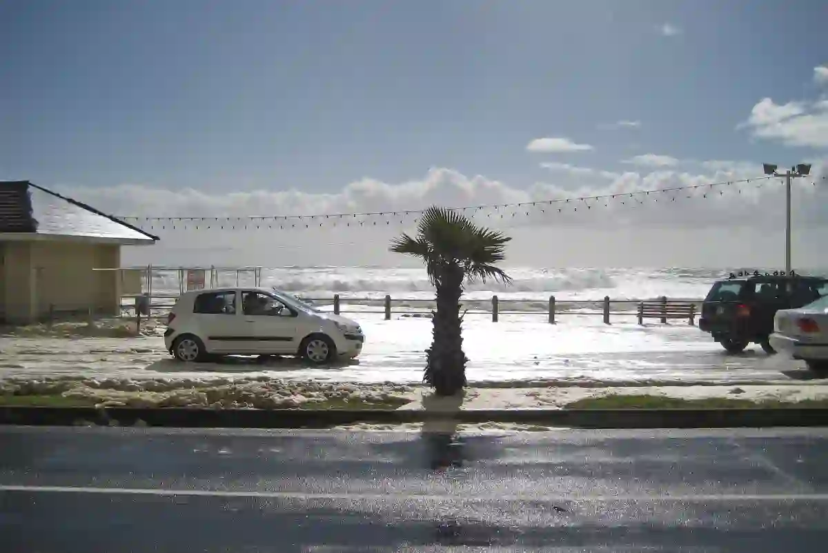
- Disruption of beachfront activities is possible as well as danger to rock anglers.
“Strong north-westerly winds over the eastern parts of the province may fuel runaway fires [and increase] difficulty in navigation for small vessels and personal water craft can be expected,” the weather service warned.
Here are Thursday’s forecasts, measured by Ventusky.com:
Temperatures
- Early morning: Up to 11°C
- Afternoon: Conditions expected to rise to a maximum of 14°C
- Evening: Temperatures expected to drop to below 12°C
Precipitation
Moderate-to-harsh rainfall is expected to wash over most parts of the Western Cape, coming from the Atlantic. Things are expected to escalate in the afternoon with precipitation levels expected to rise to 10mm.

The torrential weather will move towards the northern parts of the country and thus, the rain should ease on the Western Cape in the evening.