South Africans are bracing for the potential of another significant bout of Spring thunderstorms over the upcoming weekend and early next week, following the recent coastal storm surge and wind events that caused damage in various regions.
SAWS warns of soon-coming cut-off low system
A cut-off low-pressure system, characterised by the equatorward displacement of a low-pressure system at high altitudes, is forecasted to develop along the west coast of South Africa starting on Saturday night (23 September 2023).
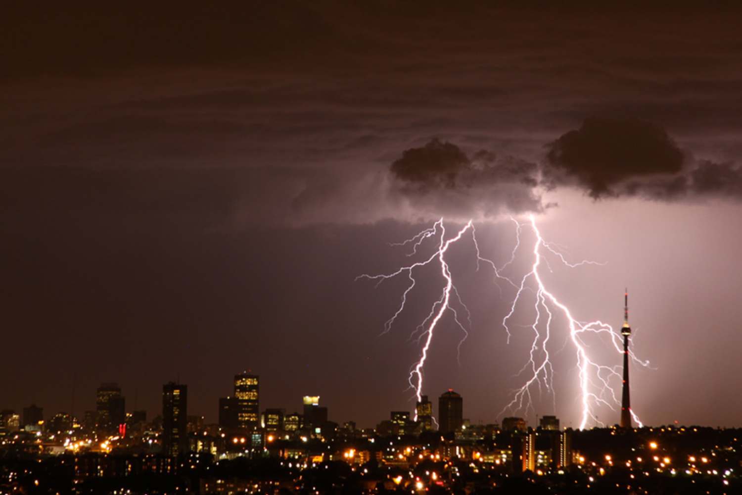
These cut-off lows are renowned for generating widespread severe weather conditions, including flooding, heavy rainfall, and severe thunderstorms.
The impact is expected to affect multiple regions across western, central, and southern South Africa, particularly beginning on Sunday.
READ MORE – Pretoria storm trips Zuikerbosch plant: These areas will be without water supply
Spring thunderstorms expected over these parts of South Africa
Garden Route, Western Cape, and Eastern Cape Coast (Saturday, 23 September 2023)
Light rain is expected along the Garden Route in the Western Cape and the coastal regions and adjacent interior of the Eastern Cape on Saturday.
Isolated to scattered thundershowers will develop during the afternoon over the interior, initially in the eastern parts of the Northern Cape and extending to the western Free State and interior of the Eastern Cape.
Western Cape, Northern Cape, Eastern Cape, and Southern Free State (Sunday, 24 September 2023, and Monday, 25 September 2023)
On Sunday, the cut-off low will rapidly intensify as it moves northwards. It is projected to enter the western interior of the country, leading to widespread thundershowers and rain across portions of the Western Cape, Northern Cape, Eastern Cape, and southern Free State.
Severe thunderstorms are possible in the Western Cape, Northern Cape, and western areas of the Eastern Cape, with bursts of intense rainfall that could result in flash flooding.
Coastal areas, especially along the Western Cape and Eastern Cape coasts, can expect strong to gale-force winds and very rough seas reaching heights of 4.0 to 6.0 meters on Sunday and Monday.
The central and eastern interior of the country will also experience strong winds from Sunday into Monday, increasing the risk of veld fires in open areas.
ALSO READ – Freak Waves: Understanding Their Causes and Occurrence in South Africa
Weather Conditions (Sunday and Monday)
Cold conditions are anticipated in the western and southern parts of the country starting on Sunday, and extending into the central regions on Monday.
In some southern interior areas, very cold conditions are expected, and there is even a possibility of light snowfall in the northeastern high-lying areas of the Eastern Cape and Lesotho on Monday.
Conversely, the northern and northeastern provinces will remain hot, with some lowveld areas in Mpumalanga and Limpopo experiencing very high temperatures.
Southern Coastal Areas (Monday, 25 September 2023)
By Monday, the cut-off low will approach the southern coast, forming what is known as a “scorpion’s tail,” a deep low-pressure system at the surface steered by stronger winds high up in the atmosphere and characterized by convective clouds.
This weather pattern will bring further widespread and heavy rainfall to the southern parts of the Western Cape and the southern portions of the Eastern Cape. Numerical model data suggests that these areas may experience 24-hour rainfall amounts ranging from 60 to 100 mm along the coastal towns and mountainous regions of the Garden Route.
Gale-force winds will persist along the Eastern Cape’s coastal areas and the south coast of the Western Cape on Monday. The cut-off low is expected to move away from the country by Tuesday, 26 September 2023.
The South African Weather Service will continue to monitor this weather system and issue subsequent updates over the next few days. Updated impact-based warnings will be issued as necessary.